BIO
ABOUT ME
I graduated in Architecture at Politecnico di Torino, with a thesis on the use of UAV for safety application in construction sites and in technical measures for seismic emergency response.
Along with the Lab G4CH (Laboratory of Geomatics for Cultural Heritage) and the student team DIRECT (DIsaster RECovery Team) I’ve carried out mapping research in earthquake-hit regions in central Italy and other relevant projects in collaboration with the firefighters and first responders.
Since 2017 I have been working at PIC4SeR (PoliTO Interdepartmental Centre for Service Robotics) as industrial representative for DJI, the world’s leader in commercial and civilian drone industry.
Since 2019 I've started working in the field of Underwater data acquisition and processing, along with the ISPRS WG II/7, specializing in underwater photogrammetry.
In 2023 I obtained a Ph.D in Geomatics - Architectural and Landscape Heritage, with a thesis focused on Geomatic techniques for the documentation of the Underwater Cultural Heritage.
I have an extensive knowledge of underwater data acquisition and processing, marine and coastal 2D and 3D mapping, drones and their application for research, survey, humanitarian relief, public safety, built heritage monitoring and damage assessment.
I am qualified as:
• PADI Advanced Open Water Diver (2008UU6234);
• UAV Pilot (attestation N° I.APRA.012801);
• Health & safety at workplaces trainer (crit. 2 of D.M. 6/3/2013);
• Safety coordinator in construction sites (art. 98, par. 4 of D.Lgs. n. 81/2008).
MEMBERSHIPS
What I am part of
• ISPRS WG II/9: Underwater Data Acquisition and Processing (Member).
• ISPRS SC - The International Society for Photogrammetry and Remote Sensing Student Consortium (Member).
• ECOP - Early Career Ocean Professional - UN Ocean Decade (Member).
• SIFET - Società Italiana di Fotogrammetria E Topografia (Member of the "Communication, Media & Social" commission).
• CIPA EP - Comité International de Photogrammétrie Architecturale - Emerging Professionals (Regular member).
• WFP UAS TWG - World Food Programme Unmanned Aircraft System Technical Working Group (Co-Chair of the Imagery Thematic Area).
• IEDO - International Emergency Drone Organisation (Regular member).
• GEER - Geotechnical Extreme Events Reconnaissance (Regular member).
• AIFES - Associazione Italiana Formatori Esperti in Sicurezza sul Lavoro (Trainer).
• DIRECT - DIsaster RECovery Team (Tutor member).
HONOURS AND AWARDS
National and International recognitions
• IEEE - Best poster paper Award at the International Conference on Interactive Media, Smart Systems and Emerging Technologies (IMET) - 2022.
• ISPRS - Travel Grant for attending the Geospatial Week - 2019.
• SIFET - Società Italiana di Fotogrammetria E Topografia. Best poster paper Award for "Unconventional Positioning and Mapping" - 2019.
• AiFOS - Associazione Italiana Formatori ed Operatori della Sicurezza sul lavoro. Best Master Thesis Award for "Health & Safety at workplaces" - 2017.
• SIFET - Società Italiana di Fotogrammetria E Topografia. Best poster paper Award for "Earthquakes and Emergencies" - 2017.
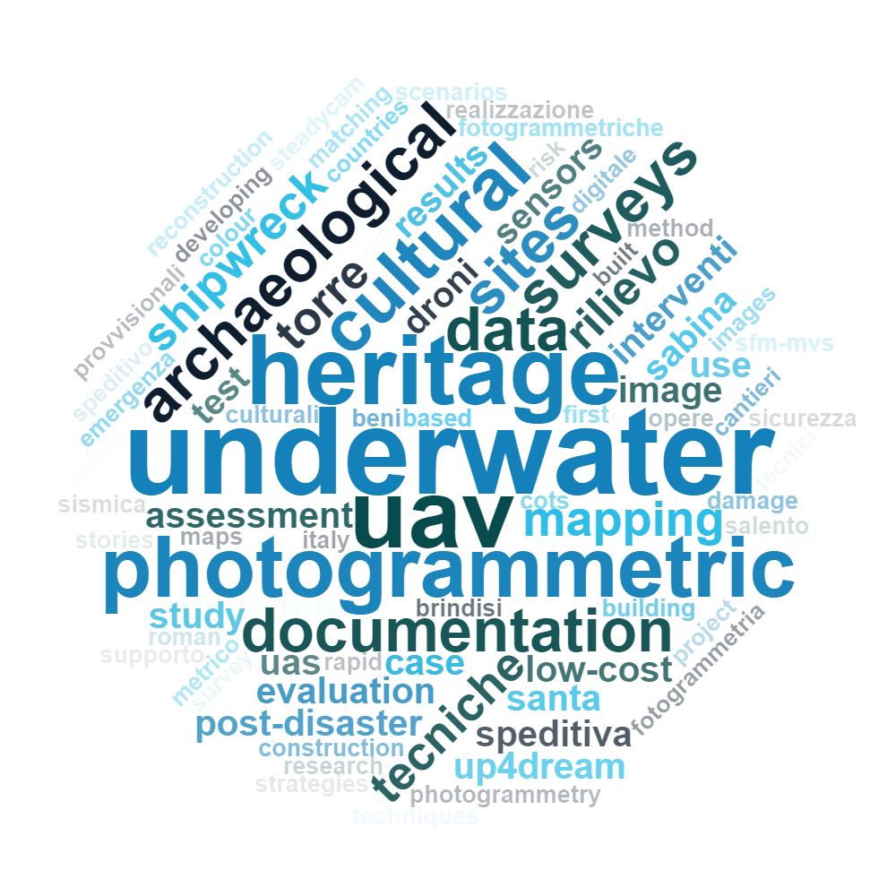
WORD CLOUD
My Key-Words